Storm Boelo: amber and yellow wind warnings, gusts up to 80mph in Scotland and the north
The Met Office has issued amber wind warnings from 24 to 25 October 2026 covering Scotland, parts of Northern Ireland and the far north of England. Gusts could reach 80mph in exposed coastal areas.
Author: Editorial teamPublished: 2 min read
Contents
The Met Office is warning of Storm Boelo, which will bring strong and potentially damaging winds over the weekend of 24–25 October 2026. It is the second named storm in a short time: Storm Austen, the first named storm of the season, crossed the UK earlier.
Where the warnings apply
Amber wind warnings cover all of mainland Scotland, parts of Northern Ireland and the far north of England. According to the Met Office, widespread gusts of 60–70mph are forecast within the warning area, with 80mph possible in exposed coastal locations.
In Scotland, the amber warning runs from 9pm on Saturday 24 October to 9pm on Sunday 25 October. Wider yellow warnings extend further south into England and north Wales, and cover the whole of Northern Ireland.
Elsewhere in the UK, gusts of 50–60mph are possible. Heavy rain is an additional hazard, particularly in the north.

Advice
Met Office Chief Forecaster Jason Kelly said the greatest potential for disruption is in the north. He warned of possible disruption to travel and power supplies. The Met Office advises people to secure loose items outside, plan journeys ahead and keep up to date with forecasts. Police Scotland has issued separate travel advice for drivers.
What happens next
Unsettled weather is expected to continue next week, especially in the north. Another area of low pressure is approaching, and a wind warning for northern parts of the UK has already been issued for Tuesday 27 October. Towards the end of the week, the Met Office sees signs of higher pressure and more settled conditions for parts of the country.
What this means for you
People living in or travelling through Scotland, Northern Ireland and northern England should expect possible disruption on roads and public transport, and possible power cuts. It is worth checking the forecast and warnings for your area on the Met Office website before travelling.
Sources
This article was prepared automatically by AI from the listed sources and published without prior editorial review. Spotted a mistake? Use the “Report an error in this article” button.
Photos
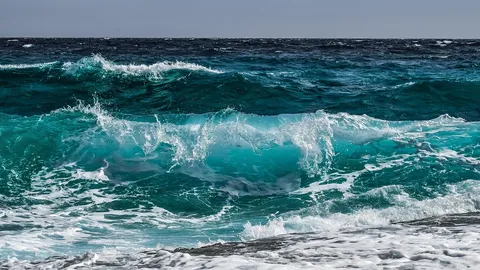
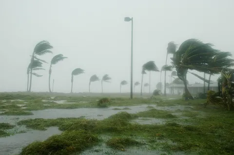
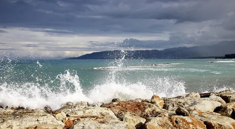
- Cover: „waves, sea, overcast, cloudy day, coast”, author: GregMontani, licence Pixabay Content License; cropped or resized.
- Photo 1: „pinwheels, nature, energy, electricity, renewable”, author: distelAPPArath, licence Pixabay Content License; cropped or resized.
Tags
Share with friends